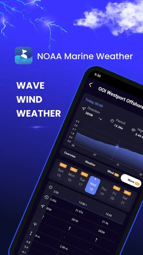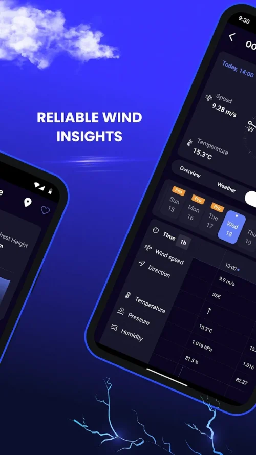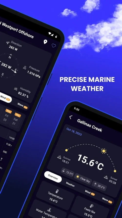
Marine Weather is a must-have application for anyone setting sail on the open seas. Whether you are a recreational boater, commercial fisher, or experienced sailor, this app provides accurate and up-to-date weather data to help you navigate safely and efficiently. With its user-friendly interface, customizable options, and comprehensive weather reporting, Marine Weather is the ultimate tool for all seafarers. The interface of Marine Weather is easy to use and professional in design. It allows for quick access to different reports, charts, and maps. The icons and visuals provide clear representations of weather conditions, and the dashboard displays your current location with concise weather summaries. With just a few taps, you can check wind speeds, wave heights, water temperature, visibility range, and more. The intuitive functionality reduces the need for scrolling and searching for information, making everything easily accessible in a well-organized manner. One of the standout features of Marine Weather is its favorites management. You can bookmark specific buoys, ports, or coastal stations for quick access later on. This saves time and effort spent searching through the app’s extensive database. You can even rename and organize your favorites into folders, creating a personalized interface tailored to your needs. This is especially useful for those who frequently travel to certain destinations or follow set routes. In addition to its comprehensive database, Marine Weather also allows users to suggest new weather station locations. If you notice any gaps in coverage for areas you frequent, you can submit location coordinates through the app. The development team carefully vets and verifies all community-submitted stations before integrating them, ensuring accurate and reliable reporting. This feature provides valuable contributions to an already well-stocked system. Marine Weather stands out from its competitors with its detailed forecast charts. These charts provide forecasts for individual weather variables over multiple days, allowing you to easily track changes in pressure systems, temperature, and wind flow. You can switch between different forecast models and even see your current position marked on the charts. These innovative visual forecasts are incredibly helpful for trip planning and navigation. An interactive map within the app shows all of its weather stations, represented by icons indicating the type of reports they record. You can filter the map to show only the stations you need, and clicking on a station will bring up its full weather profile with summaries, charts, and historical data. This bird’s eye view of weather systems in surrounding areas can be cross-referenced with forecast charts for safer and more efficient route planning. With extensive coverage along all US coastlines and major port cities, the station map provides invaluable meteorological information. While the free version of Marine Weather offers ample functionality, there are also reasonably priced subscription options available. These tiered plans cater to different needs and offer additional features such as advanced analytics and customizations. However, the free version still provides significant value, making Marine Weather accessible to all types of users. In conclusion, Marine Weather is a top-notch app that excels in its interface, customization options, forecast accuracy, and compatibility. It is clear that the developers created this app specifically for maritime use, making it an essential tool for any weather-reliant seafarer. For enhanced safety and performance on the water, Marine Weather truly stands out among its competitors.
Additional Information
- Version 11.1.0
- Requires
- Update 09-May-2025 (11 hours ago)
- Developed by NextStack LLC
- Google Play ID buoysweather.nextstack.com.buoysweather
- Size 26M
Advertisement


