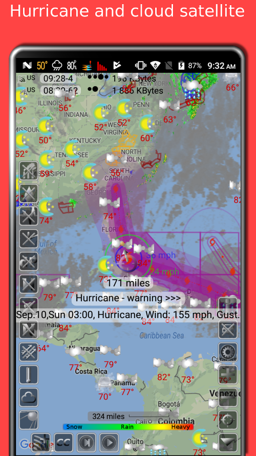
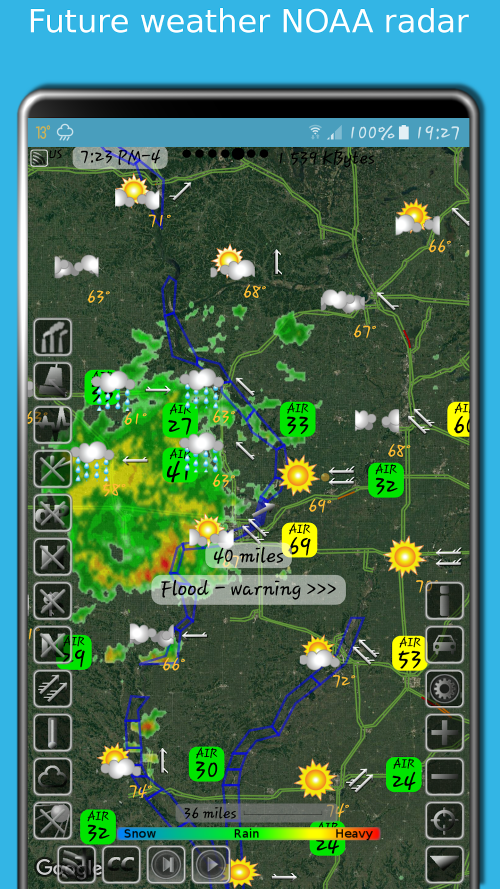
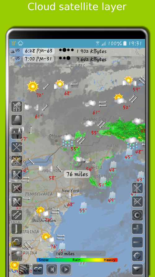
The Doppler Storm Radar is a highly advanced application that accurately predicts the occurrence, movement, and intensity of storms. It also provides detailed weather maps, air quality information, and rainfall temperature in various locations. With this powerful tool, users can quickly and precisely access weather-related data not only in their region but also in other parts of the world. One of the key features of this application is its ability to forecast weather patterns based on radar systems. This means that users can stay informed about upcoming weather events in their area, including storms, heavy rain, and tornadoes. The app also issues warnings for severe weather conditions, keeping users safe and prepared. Thanks to the collaboration with the Global Disaster Alert and Coordination System (GDACS), the Doppler Storm Radar can monitor and capture storm-related information with even greater accuracy and speed. It also offers a 10-day weather forecast, allowing users to plan their activities accordingly. Moreover, the app provides detailed weather forecasts for the next 24 hours, ensuring that users have up-to-date information at all times. Aside from its excellent weather forecasting capabilities, the Doppler Storm Radar also offers highly precise earthquake and temperature maps. These maps are based on extensive data collection and analysis, providing users with detailed statistics and charts. The app also includes lightning maps, sea level predictions, and tidal phenomena charts, all of which are based on data from buoys, satellites, and radar detection. Users can also access information on pollution levels in their environment. The app goes beyond just weather forecasting, as it also provides information on wind direction, intensity, and speed. It also includes data on air temperature and humidity, as well as precipitation frequency and amount. This allows users to take necessary precautions and plan accordingly. Additionally, the app offers a long-term forecast of tidal phenomena, as well as accurate information on earthquakes from the United States Geological Survey (USGS). The Doppler Storm Radar is known for its speed and accuracy, providing users with thousands of weather-related data points in a matter of seconds. All information is carefully collected and analyzed to ensure the most up-to-date and reliable data. Users can easily monitor the weather in any location, as the app also displays road traffic systems and provides information on humidity, wind direction, and dew points. It only takes a few simple steps to access weather information for multiple locations on the map. Furthermore, the app stores weather information for several years, allowing users to access historical data for a particular location. This feature is especially useful for planning trips and outdoor activities, as users can choose the best time and location based on accurate weather data from the past. In conclusion, the Doppler Storm Radar is a comprehensive and efficient application that provides users with extremely accurate and fast weather information. With its advanced features and user-friendly interface, it is the perfect tool for monitoring weather conditions and planning activities in any part of the world.
Additional Information
- Version 2.5.0
- Requires
- Update 01-August-2025 (05 hours ago)
- Developed by Elecont software
- Google Play ID com.Elecont.Map
- Size 13M
Advertisement


